We love it when walkers and cyclists choose to spend a night with us after a hard day on the paths, byways and roads of East Anglia.
It has become increasingly clear (over the last couple of years especially) just how many wonderful walking and cycling routes there are in our part of the world, and that many of them pass quite close to our door, making Ling’s Meadow an excellent place to kick off your shoes and maybe park your bike for the night!
Here are a few that have brought people to us – perhaps you would like to give them a try?
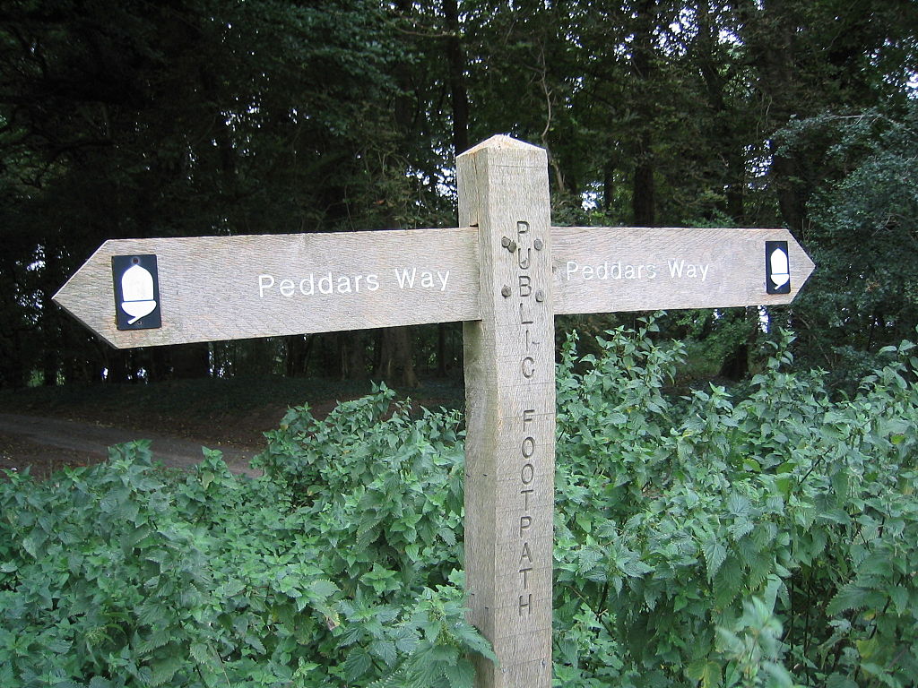
Peddars Way

A really ancient trail, dating back to the romans in AD61! We are only 4 miles from the start of this wonderful traverse of Norfolk. Good for cyclists, walkers and horseriders, it meanders through 46 miles of varied landscape from the heart of East Anglia to the wide sandy beaches of North Norfolk. Together with the Norfolk Coast Path, it forms one of 15 National Trails.
Greater Ridgeway
This is a huge path stretching from Lyme Regis in Dorset, all the way to the North Norfolk coast – 362 miles of trail in all. It is actually formed by linking up 4 smaller trails, the most northerly of which is the Peddars Way – again bringing you almost exactly to our door.

Icknield Way (Path and Trail)
Devised in the 1980s, this route links the Peddars Way with the Ridgeway National Trail in Buckinghamshire, and starts at Ivinghoe Beacon. The Path is suitable for walkers whilst the Trail was designed for cyclists and horseriders. The were designed to stay as close to each other as possible, and are 110 and 170 miles respectively. The route partially follows the extremely ancient long distance path, the Icknield Way, known as one of the 4 highways of Medieval Britain. Thousands of years old, this route was well established before the romans came to the UK.
Rebellion Way

Launched in 2022, this 230 mile route around Norfolk passes with a couple of miles of us, and we have already welcomed several ‘rebellious’ cyclists here! It uses a varied mix of byways, country lanes, bridleways, forest tracks and cycle paths, and is designed to be ridden in 4 to 6 days.
Wolf Way

A brand new cycle route launched in spring 2024, this route does for Suffolk, what the Rebellion way does for Norfolk. Slightly longer at 250 miles, it passes within a few miles of the campsite. As well as being slightly longer, the route also has more off road sections, but is designed to be very accessible to riders of all levels. It takes in the most Easterly point of the British Isles by passing through Ness Point in Lowestoft.
Iceni Way

This walking route takes a more Westerly route than the Peddars way, reaching the sea at Hunstanton. It is 83 miles long, and has links with many other named paths, including the Fen Rivers Way, Hereward Way, Icknield Way Path, Little Ouse Path and Nar Valley Way. It starts at the same point as the Peddars Way at Knettishall Heath, a Suffolk Wildlife Trust Nature Reserve just a few miles from us.
Angles Way
This beautiful path broadly follows the River Waveney and River Little Ouse, and was named ‘Best waterside walk’ in Britain by waterscape.com in 2003, even though very little of it is actually beside the rivers in question! Its 92 miles starts in Thetford and passes through Knettishall Heath on its way to the end at Great Yarmouth, so passes very close to us

.
Other Paths and Trails
These are only a selection of the paths and trails that come closest to us -within 10 miles of us you come across many more including these long distance paths:
Hereward Way: this 110 mile route links the Viking Way in Stamford with the Peddars way at Knettishall
Long Path: devised as the longest possible straight line route in England without touching water, this route from Lands End to Winterton on Sea near Caister is 480 miles long. The biggest deviation from a straight line as seen on a map is only a remarkable 1.9miles at any point on the route.
Via Beata: This extraordinary walk links Lowestoft in Suffolk with St Davids Head in Pembrokeshire to make a 454 mile walk across the widest east-west point of Great Britain, linking a series of Christian art works or way stations every 10 miles or so.
Why stay at Ling’s Meadow?
We can offer a warm welcome to tired travellers. Our communal area offers shelter from the weather, and our camp kitchen boasts all the facilities you need to get yourself refuelled.
Watching the sun go down over the meadow with a cup of something in your hand will restore your senses and soul, ready for another hard day tomorrow.
We can’t wait to meet you!